Week to date mileage 22
Month to date mileage 22
Average weekly rate 31.6
AverageMonthly rate 137
Year to Date 980
Life time 8758
Felt good as I set of on this circular run which has to be one of the most challenging runs I do. It is to say the least undulating with some good hill climbs. It is probably why it is emerging as one of my favourite regular runs as it presents a challenge whilst providing some wonderful scenery and takes you through the villages of Horsecroft, Pinford End,Hawstead and Nowton.
I am going to try and capture an almost step by step guide to this run over the next few weeks and here is my first attempt:-
Without a GPS device I have estimated the distance as best I can, though I am sure it is slightly out and depends on the starting point which for me isn't far from Westly Road and the Water Tower visible at the top of this picture. So an easy start takes you down West Rd besides the cemetery. I then run along Hospital Rd.

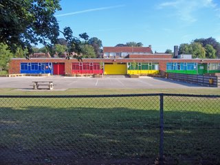
I then take a right turn towards Westgarth Gardens before turning left to run past Westgate School which seems to have been painted in good bright "house form " colours? Nice idea Mr Lee if you are still the Headmaster.
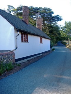
You soon emerge at the Spread Eagle Pub and here I cross over the main road and turn right up Horsecroft Road and it is quite steep to begin with as you climb out of Bury. This house near Stonebridge Farm is really the point when you emerge out of Bury but continue straight along the Horsecroft Road. This short section of road is probably the busiest of the whole run but nothing to make you fearful.
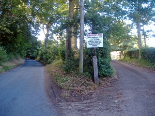
As you run along the Horsecroft Road to the left is the large Hardwick Manor and the grounds surrounding the West Suffolk Hospital. On the road you soon see on your right a sign to Horsecroft Hall. Ignore this and keep going unless you are a VIP as this is private.
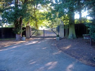
Almost immediately to the left is an entrance to Hardwick Game Farm with some large stone dog columns guarding the entrance. This section of the run is wooded providing a canopy to hide from the sun on hot days. You are pretty much still running up a slight gradient and on wet days I have known this part of the road to turn into a river, well it gets wet.

You next run through the small hamlet of Horsecroft which is no more than half a dozen farm houses and some barns. It was once apparently part of the Home farm estate belonging to the Cullum Family. The cottages as seen below are attractive.
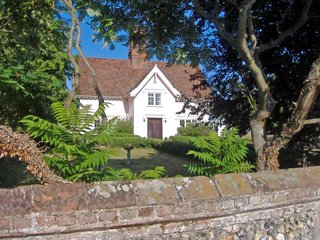 You soon pass Horsecroft Farm and on your left are various paths that can be taken across fields which are part of the Bury to Clare Walk.
To your right is the parish of Horringer, but still continue on the same road.
The house below is the on the corner of Park Lane which turns of to the left towards High Green.
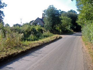
You then begin a nice downward section past Hawstead Lodge and at the bottom of the hill arrive in another small hamlet called Pinford End.
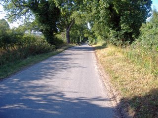
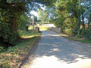
In Pinford there is a lovely Suffolk Pink house ignore the turning to the right and keep to the left past Pinford End Farm.

You are now running along Church Road and you soon start to catch glimpses of All Saints Church on your left. Before you reach it on your right you pass Church Farm.
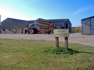
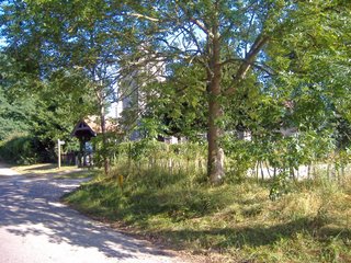
At the end of Church Road you reach a junction and the road to the right takes you into Hawstead and the Green however this run requires you to turn left at the old village school. This is Hawstead village school I note it is currently for sale.
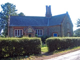
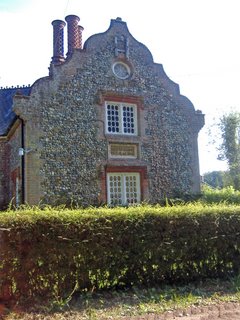
This part of Hawstead is known as Pound Green and on your left you pass the impressive almshouses provided by Philip Metcalfe which were built in 1811 for the deserving poor. I like the big bold sign declaring the importance and generosity of Metcalfe for all to see. I am not sure of his association with Hawstead and whether he is the Metcalfe who was a patron of the arts
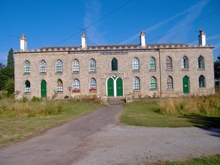
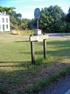
, friend of Samual Johnson and an MP for Horsham from 1790 to 1796?
You know begin a fairly steep climb which takes you past Hawstead Hall on the left. There is a minor road to the right which leads to Sicklesmere but ignore the temptation to take a detort and head up hill. You reach the dizzy heights of 79 metres above sea level though this does provide some fantastic views! Over to your left is Nowton and to the right at the bottom of the hill Sicklesmere comes more and more into view.

St Peters Church is about a mile from the vilage of Nowton up this drive.
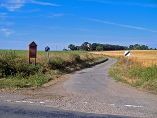
Take the next left at the Nowton village sign as to carry on would lead you onto the busy A134 .
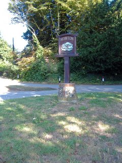
You are now on a path which takes you around the edge of Nowton Country Park. You soon pass
the Keio University It was used as a private home, but in the 20th century, it became a Preparatory School for boys, then a Ladies College for Japanese students, and then passed to Keio University. Keio University is the oldest western style university in Japan.
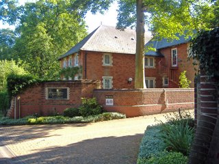
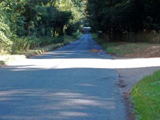
There is no pathway along this stretch so you need to look at for traffic as you are running on the road. However it is often fairly quiet I saw this Muntjac Deer out for a stroll near the Fox and Pin Lane Sign.
After Nowton Park you come back into Bury and see the Victory Sports Ground on the right.

Back into Bury I take the Cullum road into town past the wonderful water meadows. The bull rushes are always a great site.

At Out Westgate on the corner is the West End Chip Shop. I can't say I have been in there for many years.

I head along Out Westgate St until I reach the Spread Eagle and then head up Petticoat Lane along Hospital Road and then back up West Road past the cemetery and home.
A satisfying run and a scale of difficulty I would give this a 4 out of 5.
Dear Sir, As the new owner of the Old School House in Hawstead, I would be most grateful if you could remove the comments concerning it being for sale from your website.
ReplyDeleteMany Thanks
C.Robinson