

12.30 pm 9.2 miles in 1 hour 15 minutes
Week to date mileage 9.2
Month to date mileage 53
Average weekly rate 31.7
Average Monthly rate 138
Year to Date 453
Life time 8231
I drove out 6 miles from Bury St Edmunds to the village of Barrow and parked at the Weeping Willow pub. When you are unsure where to park I generally head for the pub carpark this always seems a good place.
My intention was to follow a path I had seen on the ordanance survey explorer map 210 which should have taken me to Great Saxham. I followed the footpath turning directly left on the Hargrave Road just outside of Barrow. There was a nice path beside fields and everything loooked good but when I arrived at a junction the wooden signpost had lost its markers. Someone had vandalised the sign and it was totally unclear where to run. After one attempt which took me into Green Farm I knew I would just have to return to the road.
Plan B was to run along the B Road to Hargrave and look for a triangulation point I had seen on the map. Believe it or not there is a real anorak sport called trig spotting.I guess I have to come out into the open and admit I must be a bit of a anorak as I have always been interested in seeing these colums when visiting the Lake District. The following explanation comes from the Trigpointinguk.com web site.
Trigpoints are the common name for "triangulation pillars". These are concrete pillars, about 4' tall, which were used by the Ordanance Survey in order to determine the exact shape of the country. They are generally located on the highest bit of ground in the area, so that there is a direct line of sight from one to the next. By sitting a theodolite (an accurate compass built into a telescope) on the top of the pillar, accurate bearings to nearby trigpoints could be taken. This process is called "triangulation".
A major project to map out the shape of Great Britain began in 1936. The network of triangulation pillars, with accurately known positions, led to the excellent OS maps which we enjoy today.
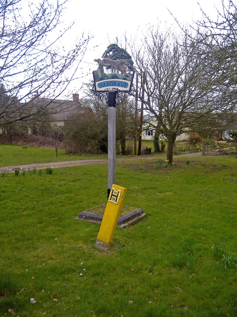
Anway on the way out to Hargrave I ran past the trig point as I assumed I was heading towards a triangulation mast that I could see in the distance rather than a piller. The road I ran along was called Barrow Hill it descends at a lovely Suffolk pink house called the wash house. I carried on into the village of Hargrave and took the Ousden Road until I eventually reached the triangulation mast at Ladys Green.
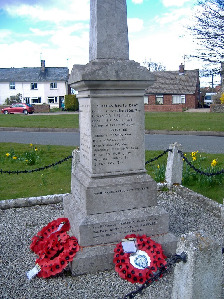
Feeling a little tired I retraced my steps back along the same route up Barrow Hill which suddenly felt like more of a hill then before. However suddenly near Wolfe Hall on the top of Barrow Hill I saw the trig point standing in a field. I clambered over a ditch and managed to avoid stamping all over a field of peas in order to get a few pictures of this concrete piller - result! This made the run very worthwhile and I ran back to Barrow in a very good mood to have a look at the War memorial and the main street.

No comments:
Post a Comment